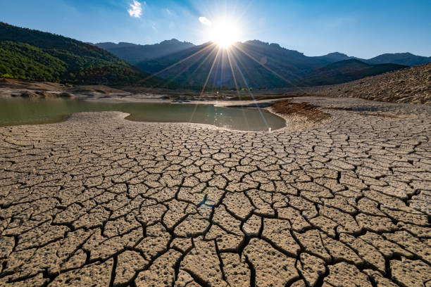
Imagine standing on a quiet street, the air thick with humidity, when suddenly, the heavens open. The rain pours down in sheets, flooding the streets, cascading off rooftops. It’s not a typical afternoon storm—this is an extreme event, something that only happens once in a while. But as scientists have been discovering, these extreme precipitation events are becoming more frequent, and the worst is yet to come.
For years, climate models have struggled to predict these intense bursts of rain accurately. While they’ve been useful for understanding long-term climate trends, most models have fallen short when it comes to forecasting extreme weather events—those that wreak havoc on cities, cause floods, and disrupt lives. Why? Because the resolution of these models, shaped by the limits of computer power, has been too coarse to capture the intricate atmospheric dynamics that trigger these storms.
But now, a new study published in Nature Geoscience is pushing the boundaries of what we thought possible. A team of researchers has developed a higher-resolution model that could change the way we predict extreme precipitation in the future. This breakthrough model, which dissects the atmosphere into much smaller pieces, reveals a sharper, more alarming picture of what’s to come.
A Higher-Resolution Look at the Skies
The research team used the Community Earth System Model v.1.3 (CESM-HR), an advanced climate model designed to break up the atmosphere into 10 to 25-kilometer (6 to 15.5-mile) chunks. This is a significant improvement over the coarser-resolution models, like CESM-LR, which use 100-kilometer (62-mile) grid squares.
To put this into perspective: Imagine trying to predict the weather by examining the world through a dense fog. That’s what coarser models do—they have limited detail and can only provide a rough sketch of what might happen. In contrast, high-resolution models can cut through that fog, offering a clearer and more detailed view. The team behind this new research took this approach a step further by running simulations that span from 1920 to 2100, comparing the high-resolution CESM-HR to its low-resolution counterpart, CESM-LR.
The results were eye-opening.
More Rain Than We Thought
The team found that the fine details in the CESM-HR model revealed something troubling: a much greater increase in extreme precipitation by the end of the century than previous models had predicted.
Under a high-emissions scenario, the CESM-HR model shows that daily extreme precipitation over land could increase by a whopping 41% by 2100. This is nearly double the 24.8% increase projected by the coarser CESM-LR model. But the most shocking revelation was the predicted increase in the annual maximum daily precipitation. The high-resolution model suggests an increase of 16.6 millimeters (around 0.65 inches) per day, which is about two and a half times greater than the 6.4 millimeters per day predicted by the low-resolution model.
The discrepancies between the two models were particularly striking in different regions. In the United States, for example, while both models agree that extreme rainfall will increase on the West Coast, the CESM-HR model predicts a much more dramatic rise in precipitation for the Southeast—nearly three times as much as the CESM-LR model forecasted.
A Closer Match to Reality
What’s even more striking about this new model is how well it aligns with real-world data. The researchers compared their simulations to satellite and station observations, using a parameter called “R99p,” which tracks accumulated precipitation from days that exceed the 99th percentile of wet-day precipitation (in simpler terms, it measures the heaviest rainfalls).
The high-resolution CESM-HR model provided a better match to the observed data than its low-resolution counterpart. The CESM-HR model predicted a global average of 41.3 millimeters per day in extreme rainfall, which is close to the observed value of 38.3 millimeters per day. In comparison, CESM-LR only predicted 28.1 millimeters per day. This closeness to actual observations shows that the CESM-HR model is far more accurate at capturing the historical increase in extreme precipitation seen in recent decades.
The authors of the study note that this improvement is significant, stating, “High-resolution ensemble simulations at 10–25-km resolution offer promising improvements in simulating extreme precipitation during the historical period and enable more physically grounded future projections with better-constrained uncertainties.”
Why Does This Matter?
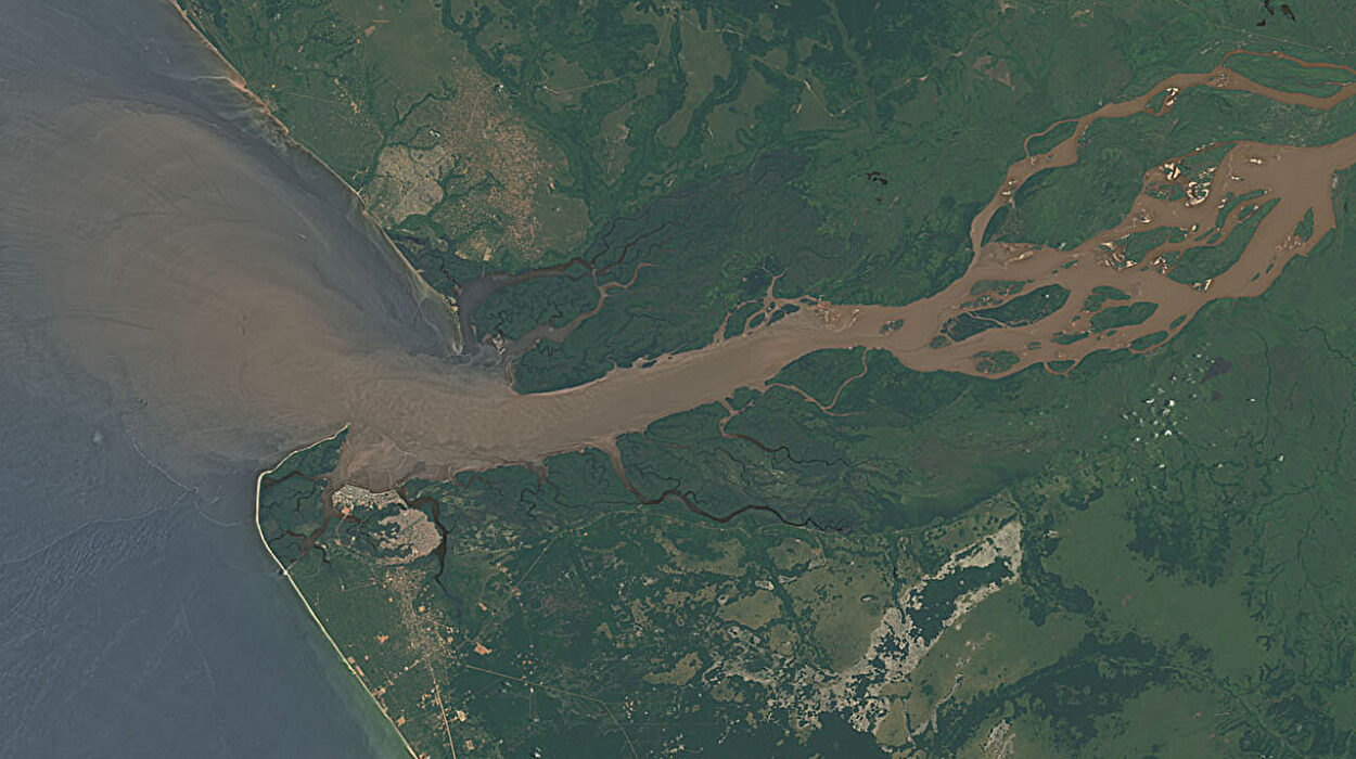
As climate change continues to stir the atmosphere, extreme weather events like intense rainfall are likely to become more frequent. Floods, landslides, and the destruction of infrastructure caused by heavy rain will not only threaten lives but also pose serious economic risks. By improving our ability to predict these events, we can better prepare for the future and mitigate the damage they cause.
The key to this advancement lies in the high-resolution model’s ability to simulate mesoscale convective systems (MCSs), which are small-scale weather phenomena that drive extreme precipitation. These systems—localized clusters of thunderstorms and moisture convergence—are a crucial factor in creating heavy rainfall. The coarser-resolution models simply aren’t able to capture the complex dynamics of these systems, leading to underestimates of extreme precipitation. But the CESM-HR model, with its finer detail, captures these atmospheric features much better.
This improvement means that the new model can more accurately simulate the underlying causes of extreme precipitation, helping us understand why these events are happening and how they might change in the future.
A Glimpse Into the Future
The team behind this breakthrough is hopeful that their findings will pave the way for even more precise predictions. Although the current CESM-HR model still can’t fully resolve smaller-scale phenomena like clouds and deep convection, its improvements over the previous generation of models are already striking. The researchers suggest that the next step is the development of global storm-resolving models, which would provide even finer resolutions and offer even more accurate projections.
Ultimately, the goal is to make climate predictions not just more accurate, but more actionable. With the data from high-resolution models, cities and regions at risk of extreme rainfall can better prepare for potential flooding and other disasters. This means better infrastructure planning, better early warning systems, and, hopefully, fewer lives lost to climate-related catastrophes.
As the authors of the study conclude, the need for “multimodel high-resolution ensembles” is clear. The more we can refine our models, the better we’ll be at understanding the complexity of extreme weather events—and, in turn, the better we’ll be at preparing for the challenges that lie ahead.
In the end, this research underscores an urgent truth: the future is going to be wetter, and understanding how to navigate that future requires not just watching the sky, but being able to read it with the sharpest of tools.
More information: Ping Chang et al, Future extreme precipitation amplified by intensified mesoscale moisture convergence, Nature Geoscience (2025). DOI: 10.1038/s41561-025-01859-1