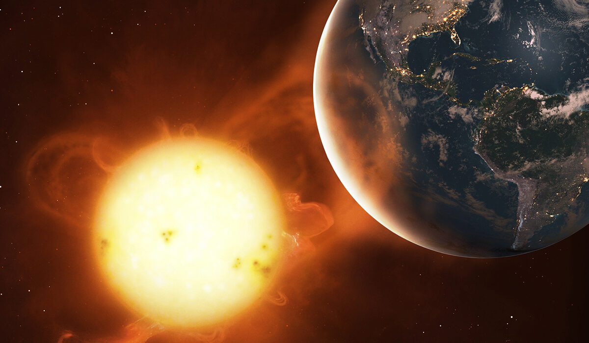
A heat dome is a prolonged period of hot weather associated with a persistent area of high atmospheric pressure. This high-pressure system encourages air to sink, warms the air as it descends, and often suppresses cloud formation and rainfall. When the pattern remains in place for days or longer, temperatures can climb well above normal, creating a heat wave that affects large areas.
Despite its name, a heat dome is not a literal dome of hot air sealed over a region. The atmosphere remains open and constantly moving. Instead, the term describes a weather pattern in which persistent high pressure helps maintain hot conditions by limiting cooling and allowing heat to accumulate near the ground.
Heat domes can affect cities, agricultural regions, forests, and rural communities. Their effects depend on how intense and long-lasting the high-pressure system is, the amount of moisture in the air, local geography, and the condition of the land before the heat arrives.
How a heat dome forms
Heat domes develop when atmospheric circulation creates a broad, persistent area of high pressure. In the Northern Hemisphere, air around a high-pressure system generally circulates clockwise near the surface, although the actual flow varies with altitude and the surrounding weather pattern.
High-pressure systems are associated with descending air over much of their interior. As air sinks, it encounters increasing atmospheric pressure. The air is compressed and warms through a process called adiabatic warming. This temperature change occurs because of compression, not because the air must absorb heat from the ground.
The warming air can create a stable layer in the atmosphere that resists the upward movement of air near the surface. This stability makes it harder for clouds and thunderstorms to develop, particularly when moisture is limited or the descending air is especially warm.
At the same time, the high-pressure system may redirect the jet stream, a band of strong winds high in the atmosphere that helps guide weather systems across the country. If the larger circulation pattern changes slowly, the high-pressure area can remain over the same region instead of moving away with the usual progression of weather systems.
As a result, the region experiences repeated days of strong sunshine, limited rainfall, and elevated temperatures. The longer these conditions persist, the greater the opportunity for the landscape and built environment to heat up.
Why sinking air makes the atmosphere hotter
The key to understanding a heat dome is the relationship between atmospheric pressure, air temperature, and vertical motion.
Air pressure decreases with altitude because there is less air above any given point. When an air parcel moves downward into higher pressure, the surrounding atmosphere compresses it. Compression increases the parcel’s temperature, much as air warms inside a hand pump when it is compressed.
This process is called adiabatic compression. In an idealized situation where no heat is exchanged with the surrounding environment, a descending air parcel warms as its pressure increases.
The reverse happens when air rises. As it enters lower pressure, it expands and cools. Rising air can therefore help form clouds when it contains sufficient water vapor, while sinking air tends to inhibit cloud formation.
In a heat dome, descending air contributes to a warmer, more stable atmosphere. It can also produce a temperature inversion, a condition in which air near the ground is cooler than air above it. Inversions and other stable layers can limit vertical mixing, although the exact temperature structure varies from one event to another.
The warming caused by sinking air is an important part of the process, but it does not explain the entire heat wave. Sunlight continues to heat the land surface, and the surface transfers energy to the air above it. When the atmosphere limits cloud cover and weather systems bring little relief, this surface heating can push temperatures even higher.
How sunshine and dry conditions intensify the heat
A persistent high-pressure system often allows more sunlight to reach the ground by reducing cloud cover. The land absorbs this solar energy and warms throughout the day, transferring some of that energy to the atmosphere through conduction, convection, and infrared radiation.
Convection occurs when warmer air rises and cooler air sinks, transferring heat vertically. However, the stable atmospheric conditions associated with high pressure can restrict this mixing, particularly above the daytime boundary layer, the lowest part of the atmosphere directly influenced by the Earth’s surface.
Soil moisture also plays an important role. When soil contains enough water, some of the energy absorbed at the surface goes toward evaporation. Evaporation converts liquid water into water vapor and uses energy in the process, limiting how much the surface temperature rises.
When soil is dry, less energy is available for evaporation. A larger share of the incoming solar energy can instead warm the ground and the air immediately above it. This helps explain why heat waves can become especially intense in regions experiencing drought or prolonged dry weather.
The relationship can reinforce itself. Hot weather dries soil, and drier soil reduces evaporative cooling, allowing temperatures to rise further. This feedback does not occur equally everywhere, because vegetation, water availability, soil type, and humidity influence how energy moves through the landscape.
Dry conditions are not a requirement for every heat dome. Some events occur in humid regions, where moisture in the air creates a different set of hazards. The defining feature is the persistent atmospheric pattern, not a particular level of humidity.
Why a heat dome can last for days or weeks
Heat waves become particularly dangerous when the weather pattern responsible for them moves slowly. A high-pressure system that passes through quickly may bring a short spell of hot weather. One that remains in place can produce repeated days of extreme heat and prevent cooler air from reaching the affected region.
The jet stream helps determine where high- and low-pressure systems develop and how quickly they move. Sometimes its flow becomes unusually amplified, with large northward and southward bends. In certain patterns, a ridge of high pressure can become persistent, allowing hot conditions to continue over the same area.
The atmosphere does not need to become completely stationary for this to happen. Weather systems may still move around the edges of the high-pressure region, while the overall pattern remains similar enough to sustain the heat.
The persistence matters because the effects of heat accumulate. Buildings, pavement, soil, and vegetation warm over successive days. Overnight temperatures may remain high, especially when humidity is elevated or urban surfaces release heat slowly. Without cooler nights, people and infrastructure have fewer opportunities to recover before the next day’s temperatures rise.
A heat dome can also affect a large geographic area. Its circulation may extend across multiple states, although the intensity of the heat varies within that region. Mountains, coastlines, elevation, local winds, and differences in soil moisture can produce substantial temperature contrasts over relatively short distances.
What makes a heat dome different from an ordinary heat wave?
A heat wave is a period of unusually hot weather relative to the typical conditions of a particular place and season. There is no single temperature threshold that defines a heat wave everywhere, because what counts as unusually hot depends partly on the local climate and the duration of the event.
A heat dome, by contrast, describes a particular atmospheric pattern associated with persistent high pressure. The two terms are related, but they are not interchangeable.
A heat dome can produce a heat wave by maintaining the conditions that allow temperatures to rise and remain high. However, not every heat wave is caused by a heat dome. Hot weather can also result from other circulation patterns, warm air transported from another region, downslope winds that warm as they descend, or combinations of these factors.
Likewise, a high-pressure system does not automatically produce record-breaking heat. Its effects depend on its location, strength, duration, the season, and the characteristics of the underlying surface.
The term “heat dome” is therefore best understood as a useful description of a persistent weather pattern, rather than a separate type of atmospheric structure or a precise scientific category with one universal definition.
Why humidity makes heat more dangerous
Air temperature alone does not fully describe the danger posed by extreme heat. Humidity influences how effectively the human body can cool itself through sweating.
When sweat evaporates from the skin, it carries heat away from the body. In humid conditions, the air is already relatively rich in water vapor, so sweat evaporates less efficiently. The body may continue producing sweat without receiving the full cooling benefit.
This is why hot, humid weather can feel more oppressive than equally hot, dry weather. Meteorologists and public health officials use measures such as the heat index to describe how temperature and humidity combine to affect perceived heat stress under certain conditions.
In very hot, dry environments, evaporation can be more effective, but that does not make the conditions harmless. High temperatures can still overwhelm the body’s cooling mechanisms, and rapid sweat loss can lead to dehydration.
Heat also places additional demands on the cardiovascular system. To release heat, the body sends more blood toward the skin while sweating reduces its water supply. Prolonged exposure can contribute to heat exhaustion, heatstroke, and other serious health problems.
The risks are especially high for older adults, infants, people with certain medical conditions, outdoor workers, and anyone without reliable access to cooling. Some medications can also affect the body’s response to heat.
How heat domes affect cities, agriculture, and ecosystems
The consequences of a heat dome extend beyond uncomfortable temperatures. Persistent heat can increase electricity demand as air conditioners run for longer periods, placing pressure on power systems during times of peak use. Heat can also affect transportation infrastructure, outdoor equipment, and buildings.
Cities often experience higher temperatures than surrounding rural areas, a phenomenon known as the urban heat island effect. Asphalt, concrete, and other construction materials absorb and store heat during the day, then release it slowly after sunset. Limited vegetation can reduce evaporative cooling, while buildings and traffic add further sources of heat.
When a heat dome overlaps an urban heat island, the effects can compound. Nighttime temperatures may remain elevated even after the strongest sunshine has passed, increasing the risk of heat-related illness.
Agriculture is vulnerable because high temperatures can increase water loss from soil and plants. Crops may experience heat stress during sensitive stages of development, and livestock can struggle to regulate body temperature. Irrigation can help some farms manage the conditions, but water supplies may already be strained if the region is experiencing drought.
Natural ecosystems can also suffer. Trees and other plants may experience water stress, while streams, lakes, and shallow water bodies can warm. Aquatic organisms may face additional stress when warmer water holds less dissolved oxygen. The severity of these effects depends on the ecosystem, the duration of the heat, and the availability of water.
Heat can also worsen wildfire conditions by drying vegetation and increasing atmospheric demand for moisture. A heat dome does not automatically cause a wildfire, which requires an ignition source, but the hot, dry conditions associated with some events can make vegetation more flammable and allow fires to spread more readily.
How climate change influences heat domes
Heat domes arise from atmospheric circulation, but the background climate affects the temperatures they produce. As the planet warms, the baseline from which heat waves develop becomes higher.
This means that a persistent high-pressure system occurring in a warmer climate can produce more intense heat than a similar pattern would have produced in a cooler climate. Events that once reached a particular temperature threshold can become more likely to exceed it, and extreme temperatures can occur over a wider area.
Climate change can also alter soil moisture and evaporation. In regions where warming increases drying, reduced evaporative cooling can intensify daytime heat. Changes in precipitation and drought patterns can further influence how the land responds during prolonged hot weather.
However, it is important to distinguish the effects of global warming from the atmospheric processes that create an individual heat dome. Climate change does not cause every high-pressure system, nor does every heat dome have the same causes or characteristics. Natural variability in atmospheric circulation remains important.
Scientists can assess the influence of climate change on a particular heat wave by comparing the likelihood and intensity of the event in the current climate with estimates for a world without human-caused warming. Such analyses examine how the probability of extreme heat has changed, rather than assuming that one weather event has a single cause.
How meteorologists identify and monitor a heat dome
Meteorologists track heat domes by examining atmospheric pressure, temperature, wind patterns, and the movement of weather systems. Maps showing pressure at different altitudes help reveal the extent and persistence of high-pressure ridges.
Forecasts also examine temperature patterns near the ground, the expected amount of cloud cover, soil moisture, humidity, and the likelihood that cooler air will move into the region. These factors help determine whether a high-pressure system is likely to produce prolonged extreme heat.
Surface weather observations and temperature forecasts are essential because the strength of a high-pressure ridge alone does not reveal exactly how hot conditions will become at a particular location. Local terrain, moisture, and wind can significantly affect the outcome.
Heat alerts are generally based on expected temperatures, humidity, duration, and the potential effects on public health. These warnings are more directly useful for residents than the label “heat dome” alone, because they indicate when dangerous conditions are expected and what precautions may be needed.
The most important question is not simply whether a heat dome exists, but how hot the region will become, how long the heat will last, whether nights will provide relief, and which communities are most vulnerable.
A heat dome is ultimately a persistent atmospheric pattern that allows hot conditions to build and endure. Sinking air warms through compression, high pressure often limits cloud formation, and sustained sunshine heats the land. When these processes continue together, temperatures can rise to dangerous levels. Understanding how they interact helps explain why some heat waves fade quickly while others become prolonged, widespread events with serious consequences for people and the environment.